Škocjan Caves
The Reka river disappears beneath a limestone wall and runs through an underground gorge more than a hundred metres deep. On the World Heritage List since 1986.
A river that leaves the map
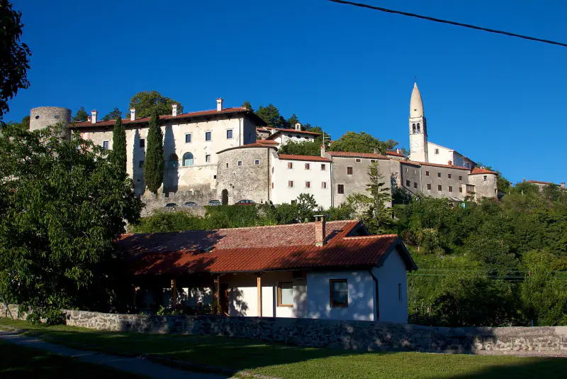
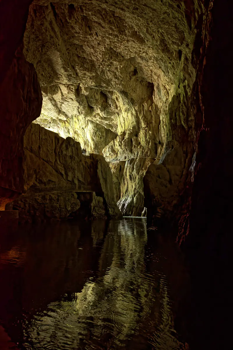
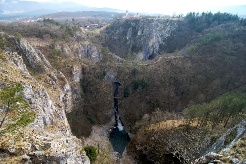
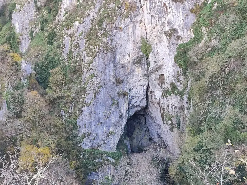
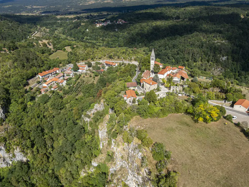
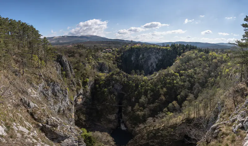
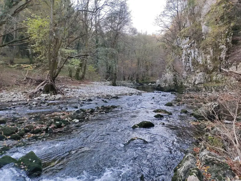
The Reka rises on the slopes of Snežnik and flows for some 50 km across impermeable flysch. Where it meets the limestone of the Karst it has nowhere to go but down. It vanishes below the village of Škocjan, reappears briefly at the bottom of two enormous collapse dolines, and then enters the mountain for good.
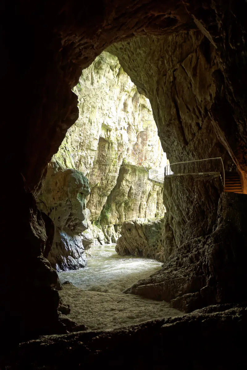
What it has cut there is the reason for the UNESCO listing: an underground canyon several kilometres long, in places wider than a football pitch and as tall as a forty-storey building. The river is next seen about 34 km away, near Duino on the Italian coast, where it emerges as the Timavo.
Škocjan Caves at a glance
- Slovene name
- Škocjanske jame
- Location
- Matavun near Divača, Karst plateau
- System length
- about 6 km
- Underground canyon
- up to about 146 m high
- Largest chamber
- Martel's Chamber, about 2.2 million m³
- UNESCO World Heritage
- since 1986
- Temperature
- about 12 °C
- Regional park established
- 1996
First, the quiet part
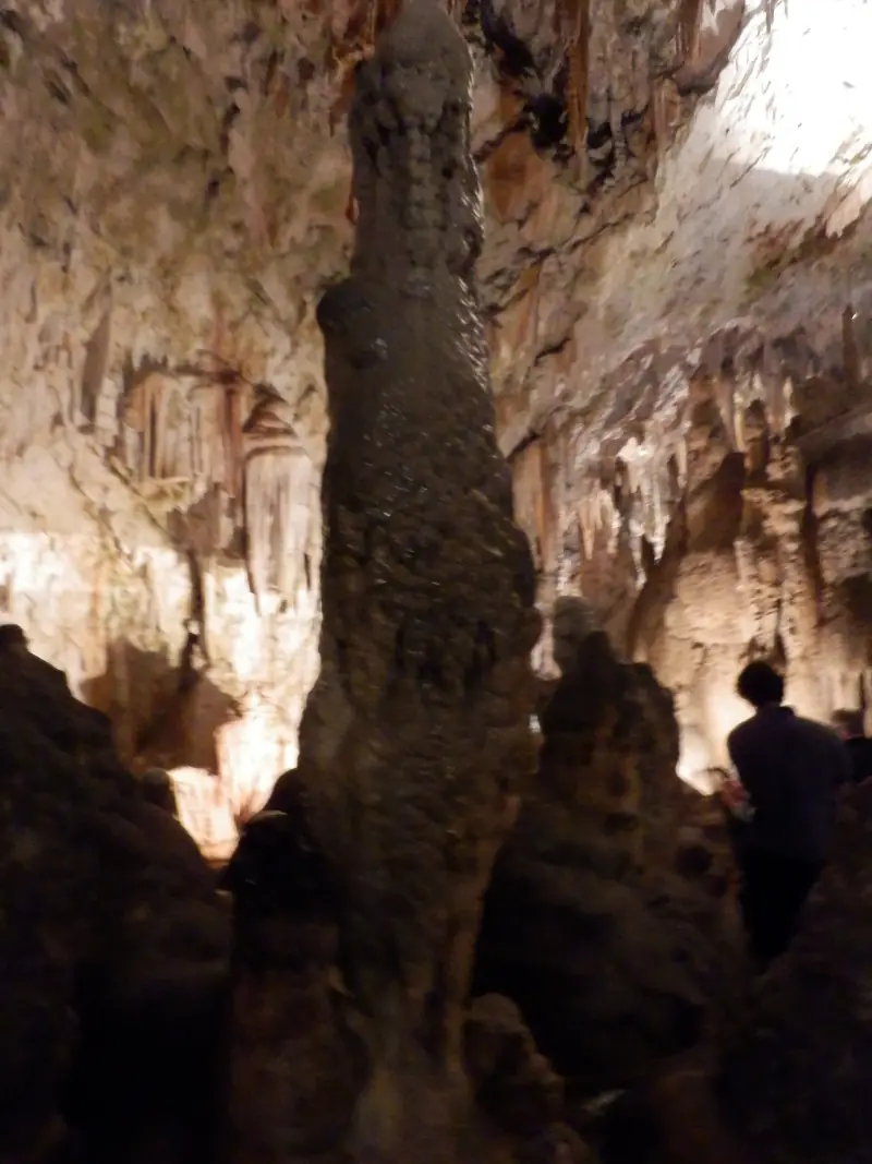
The classic tour begins through an artificial tunnel into the Silent Cave, a dry upper level that the river abandoned long ago. Its Great Hall holds stalagmites up to 15 metres tall, among them a group known as the Organ.
The name fits. For twenty minutes you hear only footsteps and dripping water, which makes what follows more striking.
Then the sound of the river
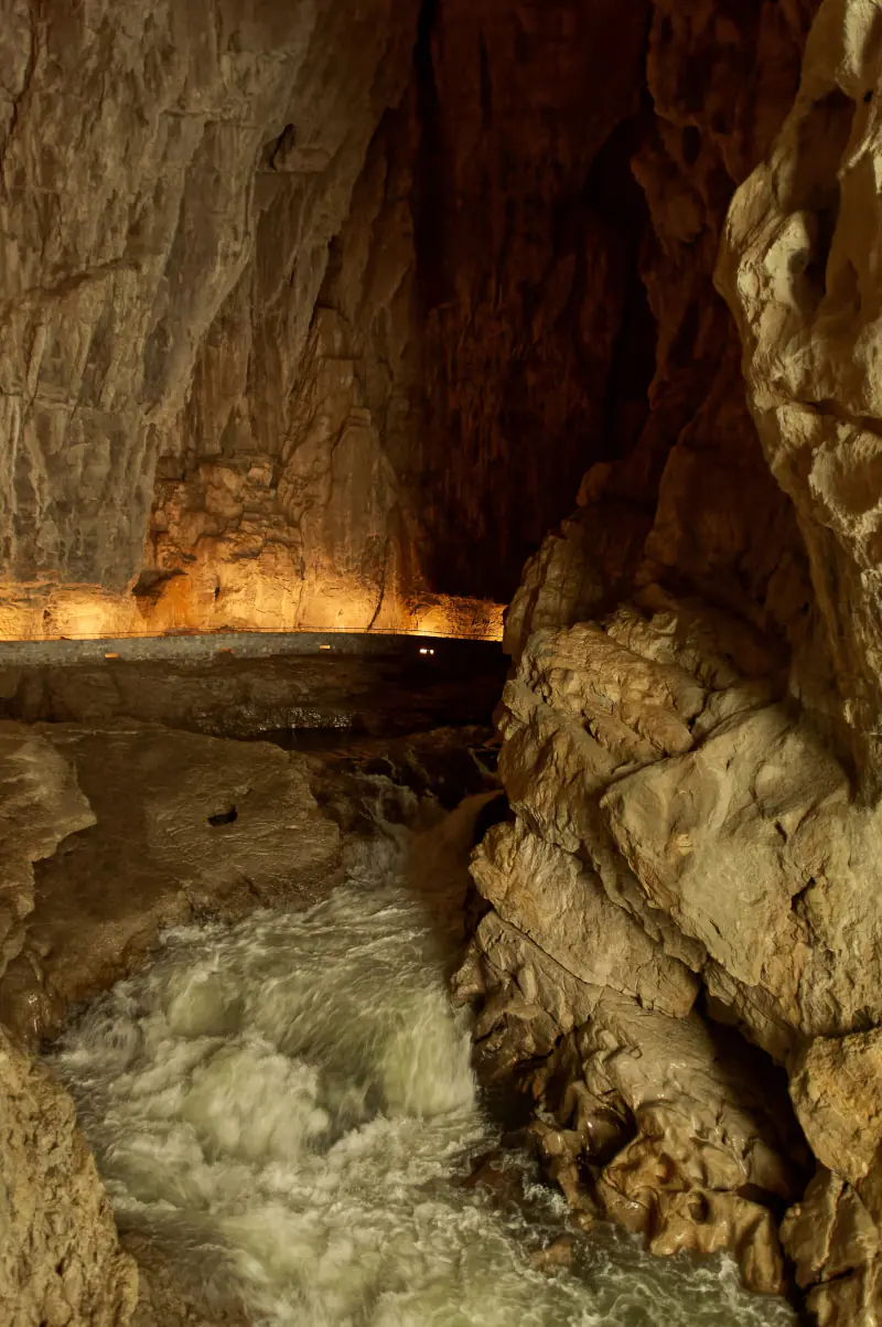
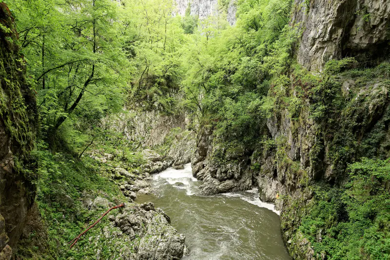
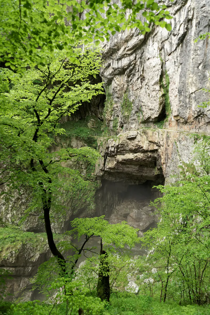
You hear the Reka before you see it. The path comes out on a ledge high on the wall of the Murmuring Cave, with the river a faint ribbon far below, and follows the canyon to the Cerkvenik Bridge, which crosses it roughly 45 metres above the water.
Further downstream, beyond the visitor route, lies Martel's Chamber, one of the largest underground chambers discovered in Europe.
Two dolines and a natural bridge
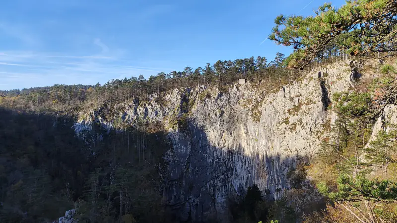
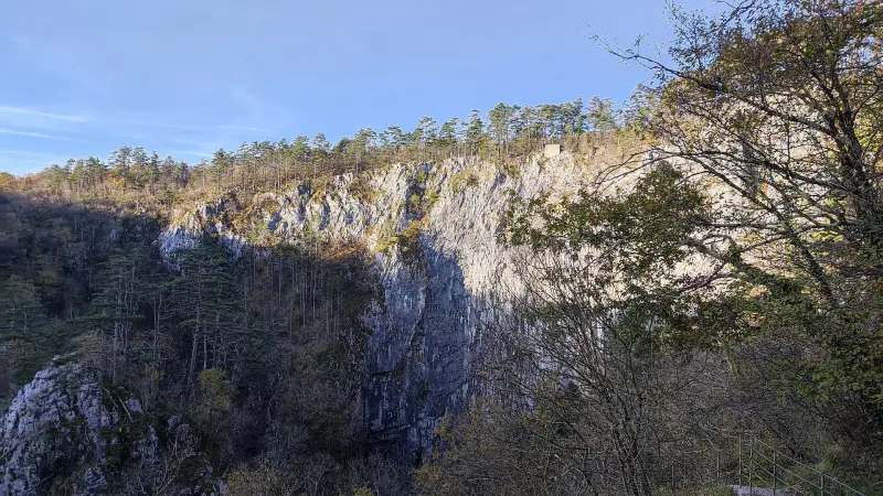
The tour ends in daylight at the bottom of Velika dolina, a collapse doline about 165 metres deep. A lift and a path lead back to the rim. The two dolines are separated by a natural bridge, the last remnant of a cave roof.
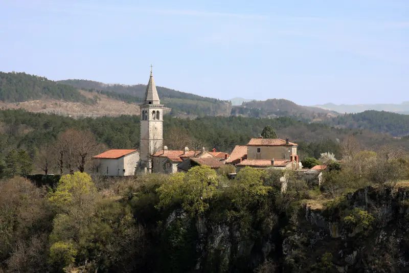
A marked educational trail circles the rim through the villages of Škocjan, Betanja and Matavun and gives the best views for free.
Škocjan Caves in figures
Inside and around Škocjan Caves
Select a photograph to enlarge it. All images are freely licensed; authors are listed in the photo credits.
Before you go
Getting there
The park's visitor centre is at Matavun, a few minutes from the Divača exit of the A1 motorway and about 20 minutes from Trieste. Divača has a railway station on the Ljubljana–Koper line, roughly 3 km away on foot along a signed path.
On the tour
The main guided tour takes about two hours and involves several hundred steps, some of them steep. It is not suitable for pushchairs or wheelchairs. Other routes follow the Reka upstream through the dolines in the warmer months.
Good to know
Wear shoes with grip; the paths are damp. The cave is about 12 °C. Check the current rules on photography before you go in, and allow time for the rim trail afterwards.
Opening times, tour schedules and prices change with the season. Always confirm them with the operator before you travel: park-skocjanske-jame.si.