Planina Cave
Two rivers that sank separately, one at Postojna and one at Rakov Škocjan, meet in the dark here and flow out together as the Unica.
Where the waters meet
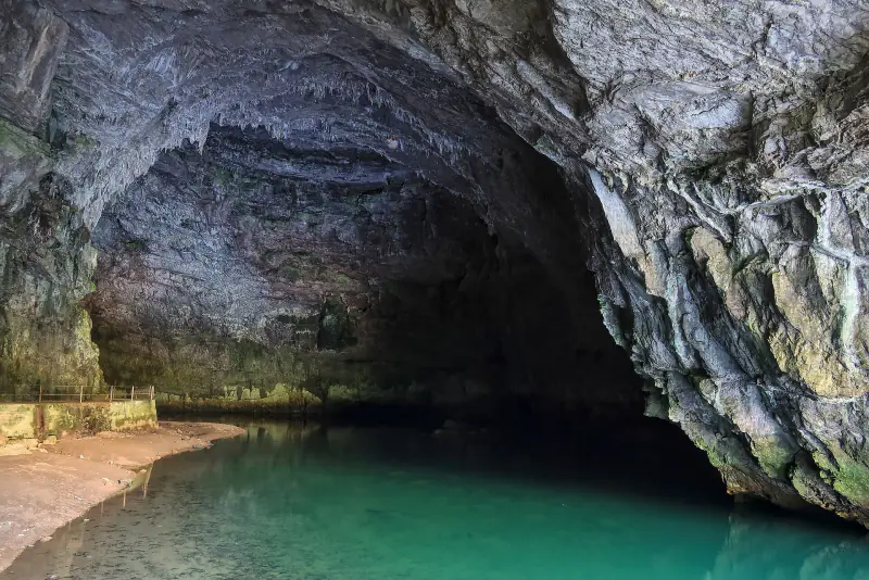
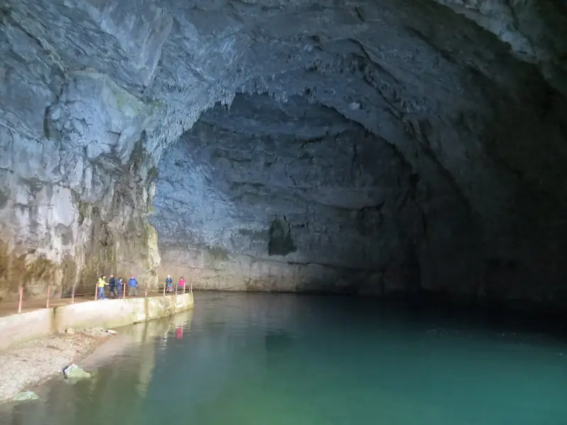
Planina Cave is the downstream end of the Postojna cave system. The Pivka enters the ground at Postojna; the Rak disappears into Tkalca jama at the end of Rakov Škocjan. About 500 metres inside Planina Cave the two join in one of the largest underground river confluences in Europe.
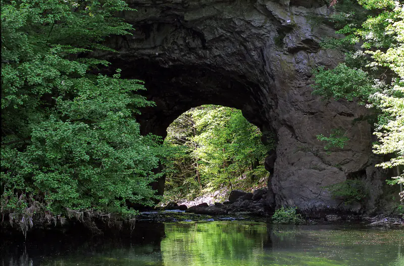
The combined river leaves through a portal at the foot of a high cliff and meanders across Planinsko polje as the Unica, before sinking yet again on the far side of the plain.
Planina Cave at a glance
- Slovene name
- Planinska jama
- Location
- Planina, 10 km north-east of Postojna
- System length
- about 6.6 km
- Rivers
- Pivka and Rak join to form the Unica
- Entrance
- beneath a rock wall about 100 m high
- Lighting
- none; hand lamps
- Standard tour
- about 1 hour
- Wildlife
- olms live in the cave's rivers
Along the river by lamplight
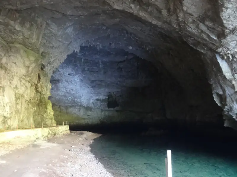
The cave has no fixed lighting. Visitors are given lamps and follow a path along the Unica to the confluence, crossing the water on footbridges. The noise of the river fills the passage, and the walls show the scalloped marks that fast water leaves on limestone.
When water levels allow, longer trips by inflatable boat explore the Pivka or Rak branches and their lakes.
The plain that floods
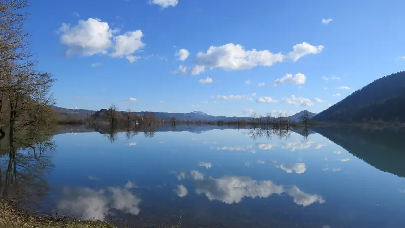
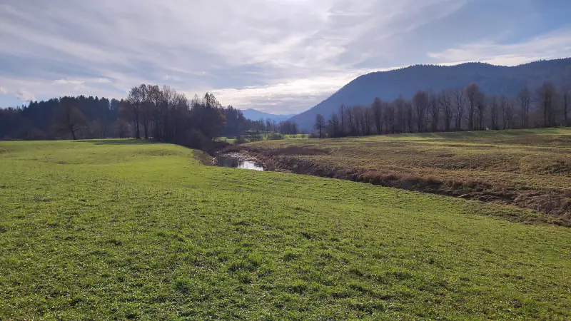
Planinsko polje is a textbook karst polje: flat-floored, closed on all sides, with a river that enters from a cave and leaves through swallow holes. After heavy rain the outlets cannot cope and the plain becomes a lake several kilometres long.
Above the cave entrance stand the ruins of a small castle, and in spring the meadows are known for their wild flowers.
Planina Cave in figures
Inside and around Planina Cave
Select a photograph to enlarge it. All images are freely licensed; authors are listed in the photo credits.
Before you go
Getting there
Planina lies on the old main road between Postojna and Logatec, close to the Unec exit of the A1 motorway. A side road leads to a car park ten minutes' walk from the entrance.
On the tour
Standard tours last about an hour. The path is uneven and can be wet; wear sturdy footwear. Boat trips must be arranged in advance and depend on the water level.
Good to know
Tours are run by a local caving society and are most frequent at weekends from spring to autumn. After prolonged rain the cave can flood and close at short notice.
Opening times, tour schedules and prices change with the season. Always confirm them with the operator before you travel: the caving society that manages Planina Cave.